Backpacking San Bernardino Peak

Distance: 16.5 Miles  |  Elevation Gain: 4700 Ft  |  Campsite: Limber Pine Bench

San Bernardino Peak left quite an impression on us back in 2015, and ever since then, we've dreamed of returning to our favorite trail and camping at Limber Pine Bench. So we figured, what better way to kick off the first weekend of 2018 than by crossing off a long-awaited bucket list item. Warmer weather and snowless conditions in the mountains just so happen to mean excellent cool weather hiking, so while my heart still yearns for snow here in Southern California, I admit that this was a pretty good silver lining.

IMG_4549 copy.jpg

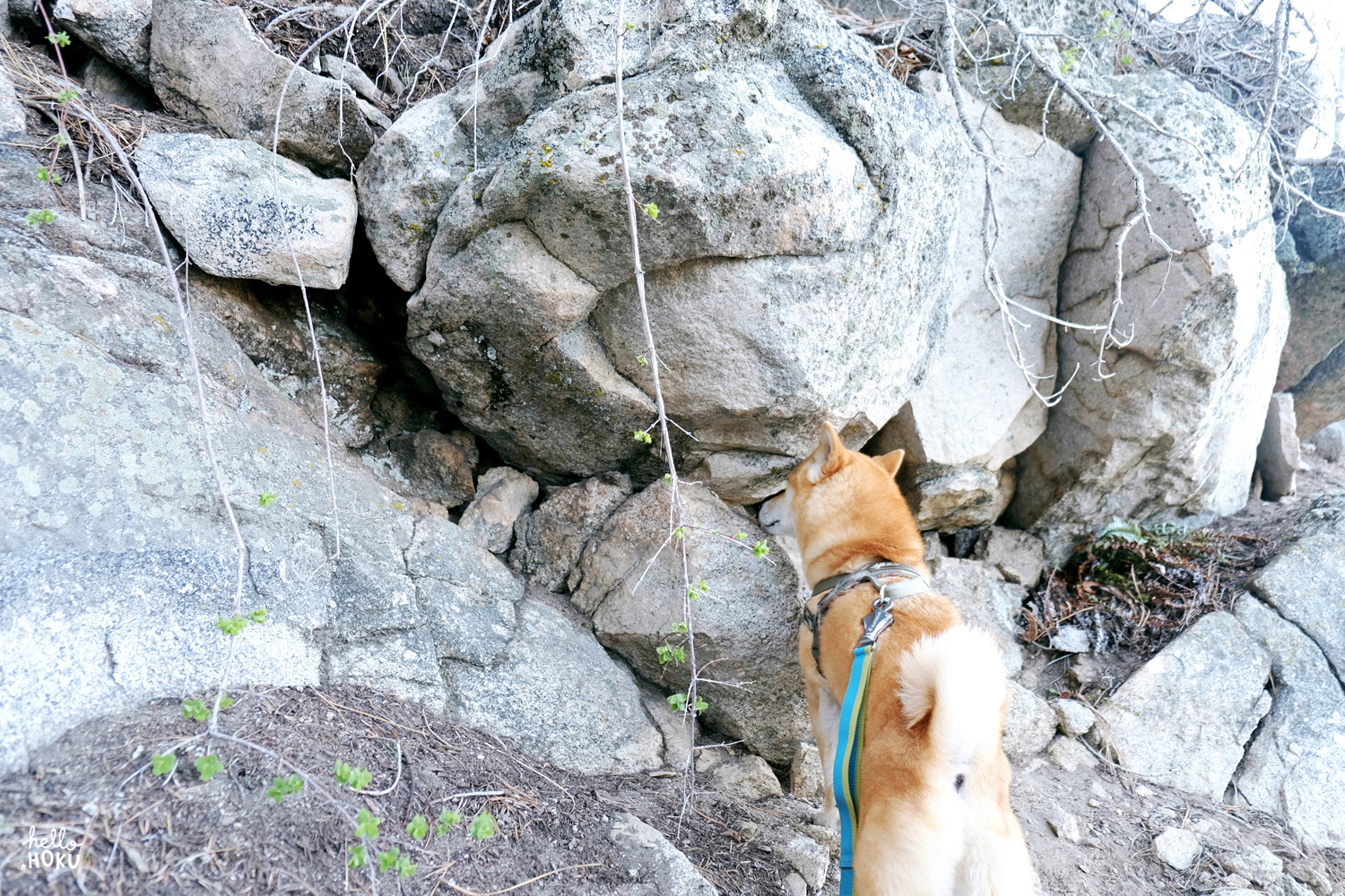
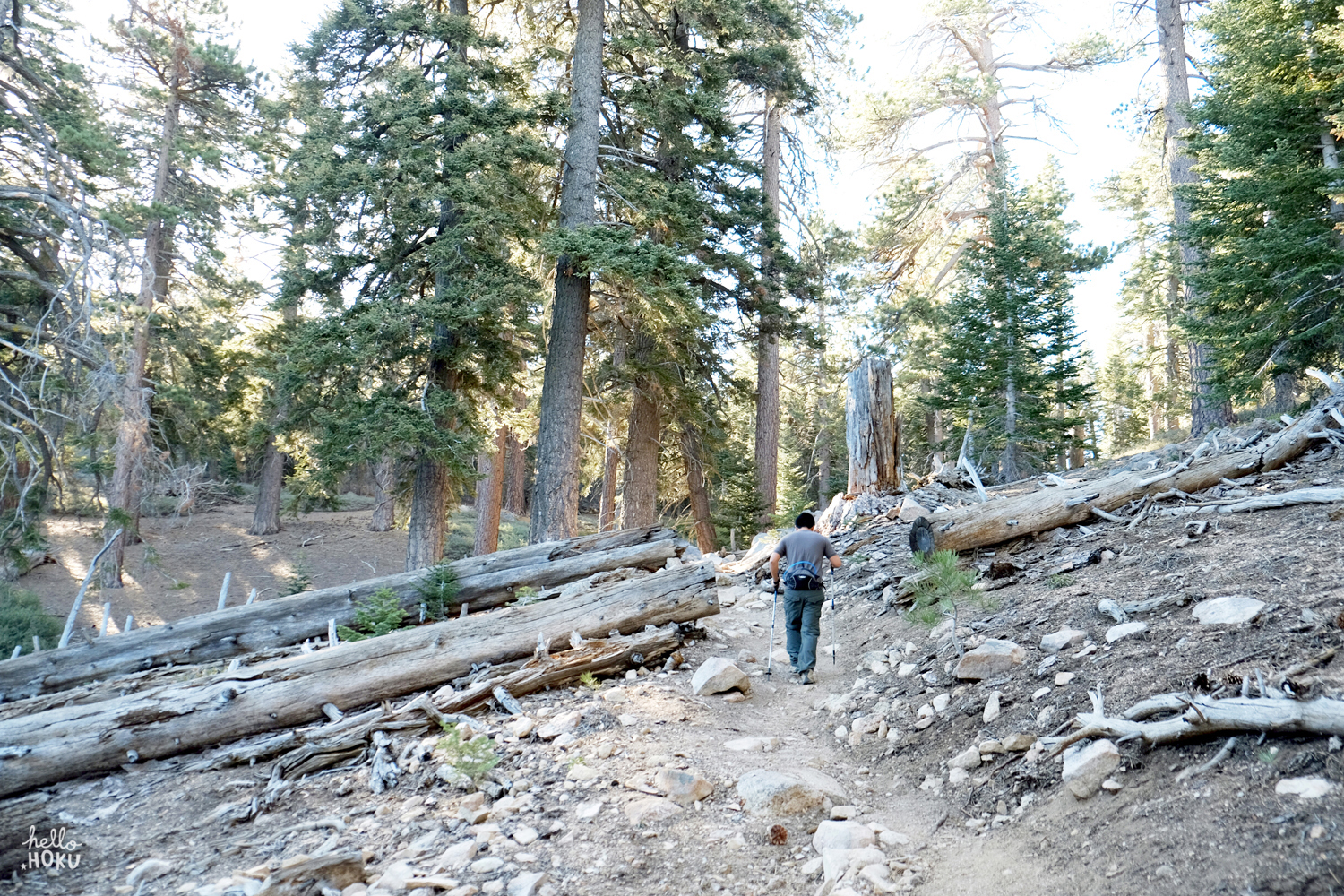
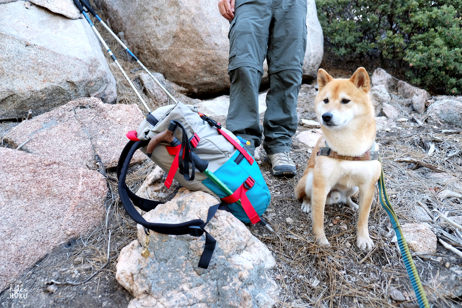
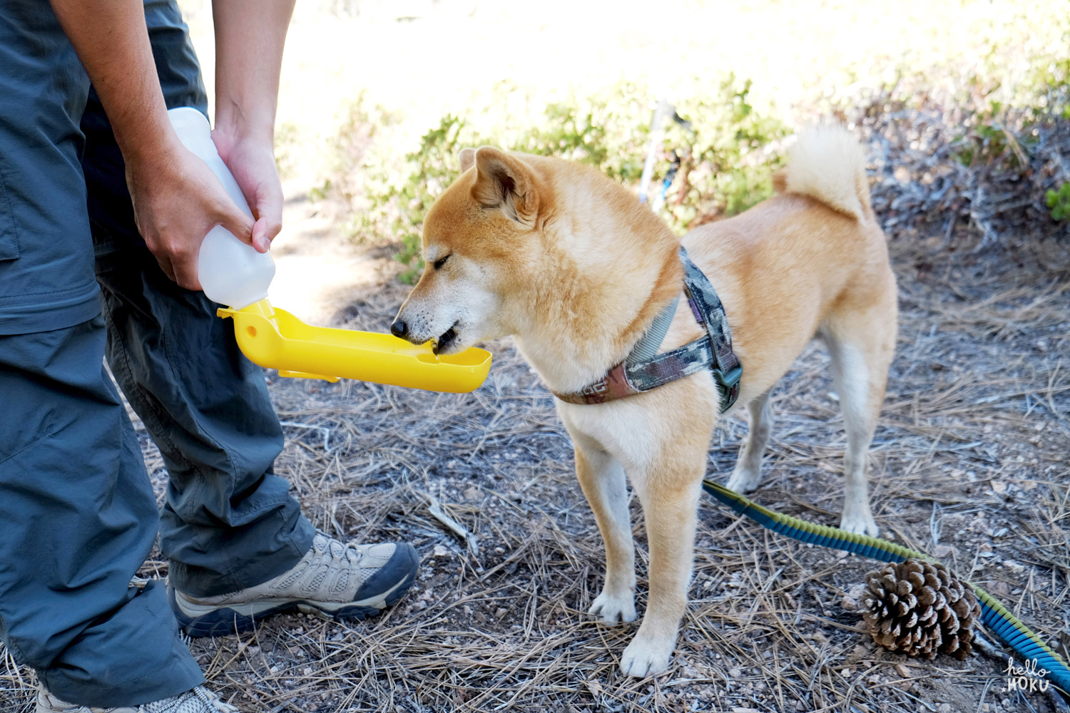
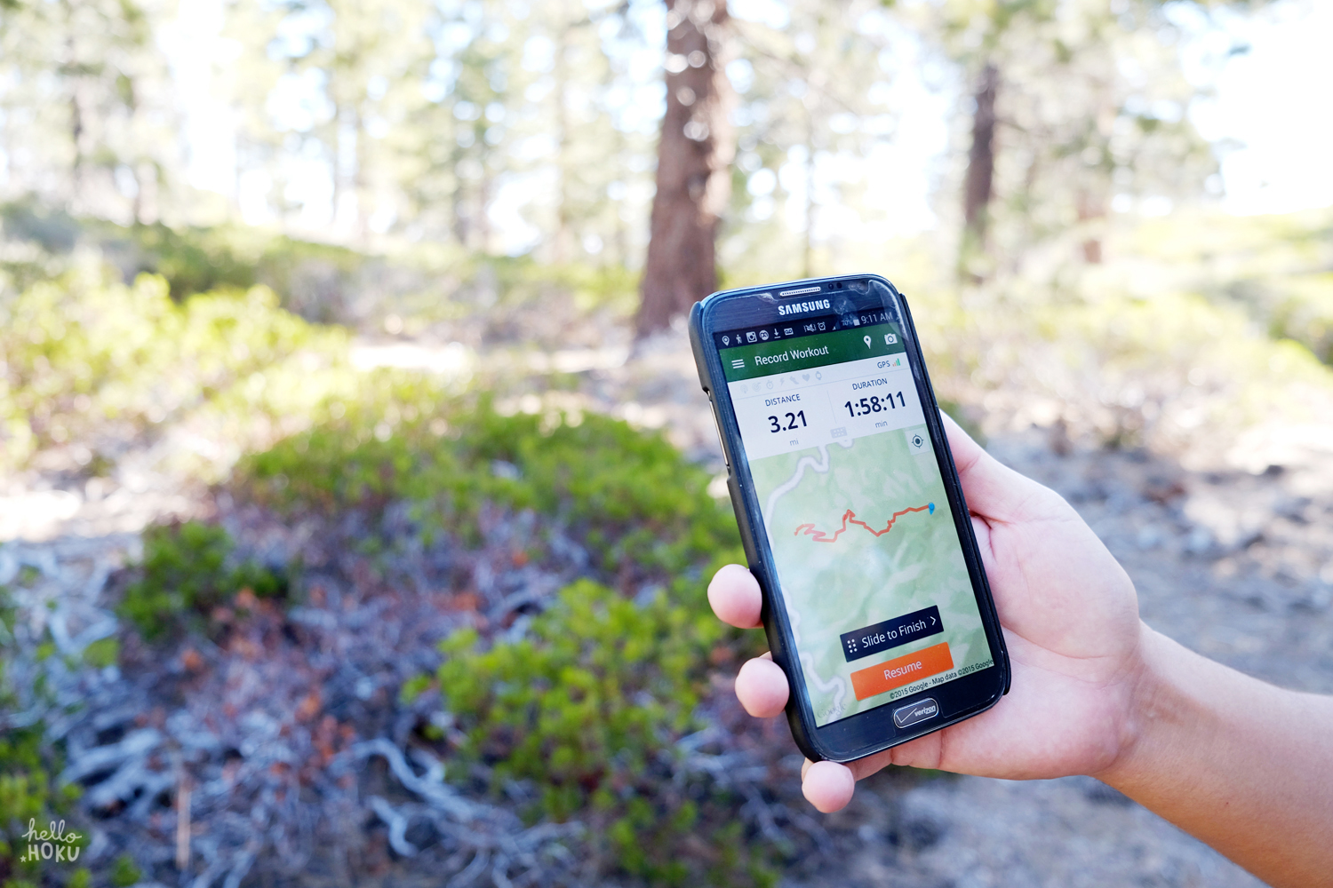
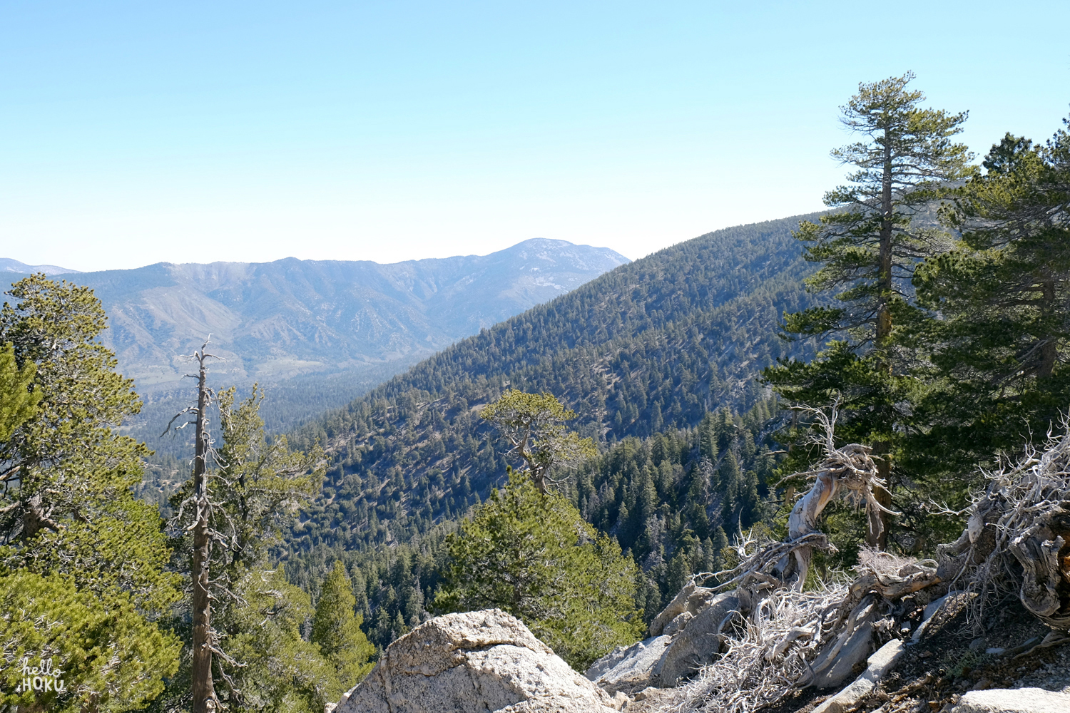
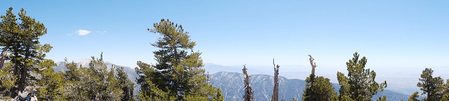
We arrived at the trailhead parking lot around 8:30am and hung up our Adventure Pass on the rearview mirror. Wasting no time, David and I strapped on our 45 and 25 lb packs, respectively, and hit the trail with the goal of taking as few breaks as possible. We hoped to power through to Limber Pine Bench and have enough time to set up camp and reach the summit by afternoon. Our pace was slow but steady, and we were pretty proud of ourselves for being able to keep up with the three day hikers that began a few minutes ahead of us. 

IMG_4121.jpg
IMG_4179 copy.jpg
IMG_4190 copy.jpg

By the time we reached Manzanita Flat, the wind had picked up significantly and we could see some dark clouds rolling in. Eventually the sun disappeared completely and we made a quick stop to put on our beanies and gloves. The last 2 miles from Columbine Spring to Limber Pine Bench was rough and seemingly never-ending, but the thought of pitching our tent and eating lunch was just enough motivation to keep us moving onward.

IMG_4209 copy.jpg

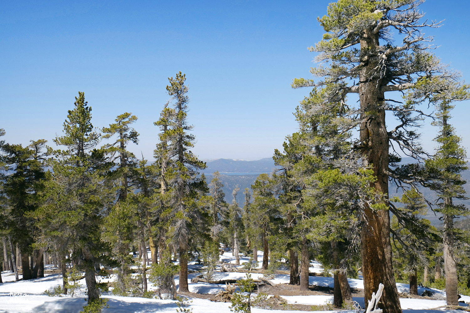
When we finally arrived at a foggy Limber Pine Camp  (9200'), we immediately started scoping out campsites and decided on a little spot protected by a small man-made rock wall and a tall pine tree. By the time the tent was pitched and our bear bin was put away, the gusts had gotten so strong that it was impossible to stand up straight. Another wind-blown group of campers arrived shortly after us and it was pretty reassuring to know that we'd have neighbors to spend the night with.

IMG_4227.jpg
IMG_4249 copy.jpg
IMG_4230 copy.jpg
DSC_6686.jpg

It's pretty amazing how much comfort and sense of protection even a thin-walled tent can offer and we felt instantly better once inside and cozied up in our sleeping bags. We decided that it'd probably be best to hit up the summit the next morning and hoped our fellow day hikers, who had continued on beyond Limber Pine, were doing all right. So then we waited. Waited to the pitter patter of dew falling from the pine needles above us with Hoku curled up at our feet, laughing at the fact that we chose to be on this cold, gusty mountain while our perfectly insulated and heated home sat empty 65 miles away. But then again, there was no where else we'd rather be. 

IMG_4268 copy.jpg
IMG_4287.jpg

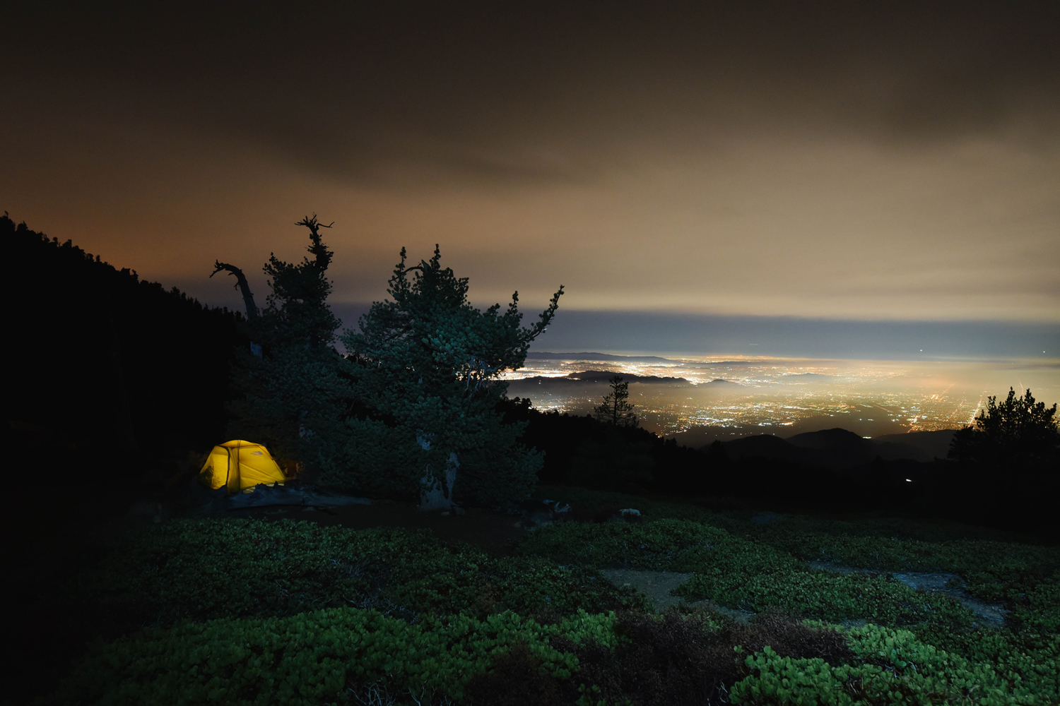
Around 7pm, we left the tent to retrieve the bear bin for dinner. It was getting dark and the fog was still rolling in but our yellow tent shown bright like a beacon of hope. I hadn't zipped up the door completely, knowing we'd only be gone for a minute but lo and behold, we see our little escapee waiting for us outside the tent. (Can you spot him?) I don't blame him for having tent-fever though. 

After a chicken teriyaki dinner made with our handy Jet Boil, David went outside to put our bin away and immediately called me outside. The wind had died down and the clouds had finally parted to reveal the magnificent city lights below us. We sighed with relief, knowing that we'd have a relatively peaceful night ahead of us and crossed our fingers for even clearer skies in the morning.  

DSC_6706.jpg
DSC_6743.jpg

After a frigid evening in the low 20's, we woke up to find that dew had frozen on our tent. To say it was difficult to leave our warm sleeping bags to step out into the brisk morning air is an understatement, but these sunrise views made it all worth it. 

DSC_6768.jpg
DSC_6915.jpg
DSC_6775.jpg
DSC_6770 copy.jpg
DSC_6778 copy.jpg
DSC_6789.jpg
DSC_6870.jpg
DSC_6839.jpg
DSC_6933 copy.jpg
DSC_6936 copy.jpg
DSC_6858.jpg

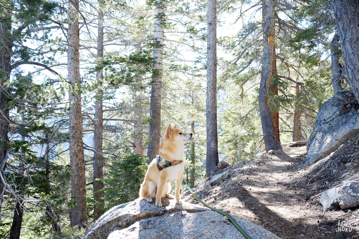
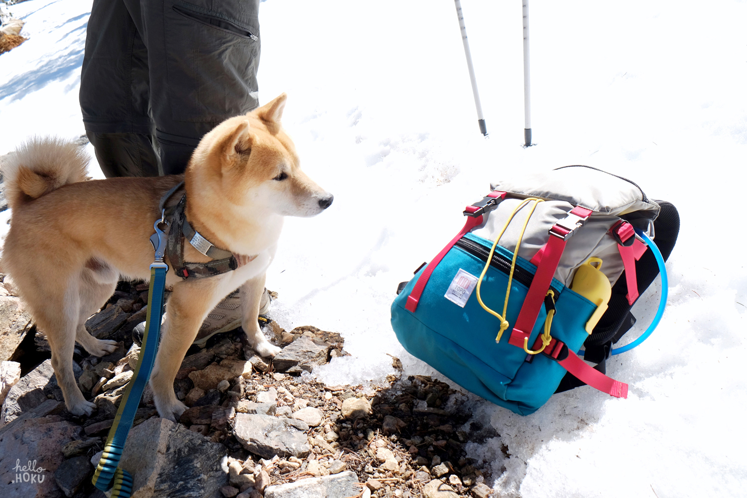
With breakfast and coffee in our bellies, we put all our things inside the tent and started the final 2.2 mile trek up to the summit, feeling light as a feather with just our day packs. 

DSC_7036.jpg
DSC_7056.jpg
DSC_7121.jpg
DSC_7135 copy.jpg
DSC_7089 copy.jpg
DSC_7145.jpg

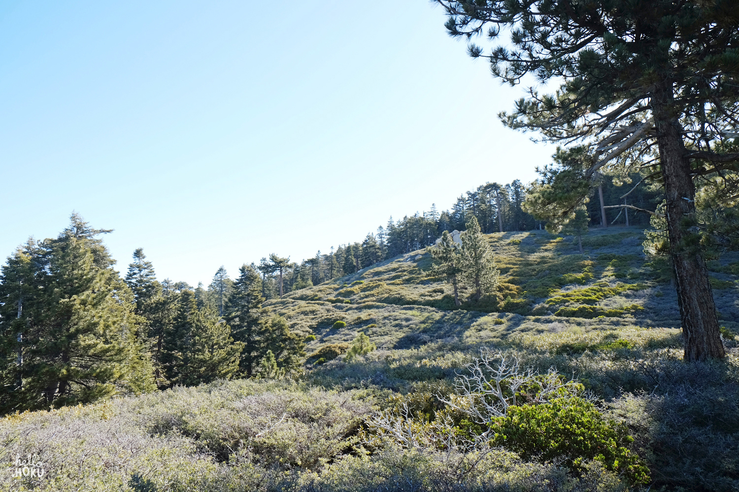
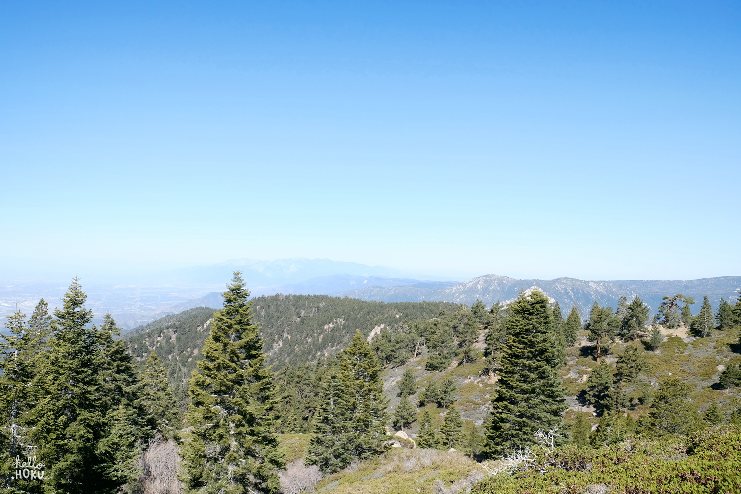
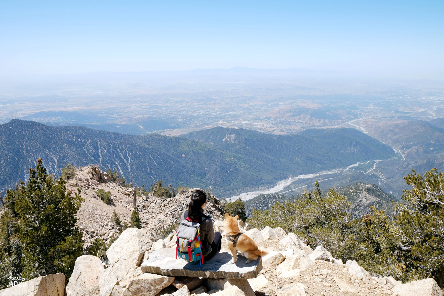
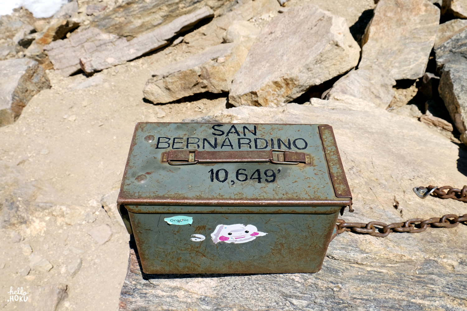
The overlook bench just before Washington's Monument offers the best views of the entire hike, but the short ridge line segment between the monument and the summit is a close second favorite. Finally, just a few steps from the summit, we let Hoku take the lead and he was first to reach the top.

DSC_7156.jpg
DSC_7164 copy.jpg
DSC_7172 copy.jpg
DSC_7212.jpg
DSC_7246 copy.jpg
DSC_7239 copy.jpg
DSC_7263.jpg

 â†‘ It's always fascinating to see Big Bear Lake (sitting at 6700') just the next mountain away.

DSC_7282 copy.jpg
DSC_7301 copy.jpg
DSC_7291 copy.jpg
DSC_7319.jpg

We returned to a sunny campsite with clear views of the surrounding mountains and the city below. It could not have been a starker contrast to the sight we arrived to the day prior. Hoku took full advantage of the warmth and basked away in the sun while we dried and packed up our tent. After saying a bittersweet farewell to our camp home, we strapped on our monstrous packs once again hoping to gain some sense of comfort from the fact that at least we were carrying less water. But with aching muscles still tired from yesterday's grueling ascent, it honestly didn't feel very much different. (Dare I say, heavier, in fact.) We left Limber Pine at noon and returned to the trailhead at 2:30pm, ignoring our sore toes and keeping a brisk pace fueled by Haribo gummy bears. Hoku was a little slower than usual, but kept up with us and finished the hike like a champ, making us proud and proving that our 7-year old pup still got it in him. 

San Bernardino Peak | 10,649ft

Distance: 16.5 Miles  |  Time: 9.5 Hours  |  Elevation Gain: 4700 Ft

At 7am on a Saturday, we turned off a bumpy dirt road into an empty San Bernardino trailhead parking lot in Angelus Oaks. Three other cars with two groups of hikers arrived at exactly the same time as us. The trailhead was a little tricky to find but we followed SoCal Hiker's directions exactly and had no problems. (Note: a vehicle Adventure Pass and a hiking permit is required.) A quick stretch after the one-hour drive and we were the first ones to hit the trail. Since the trail starts at 5800 ft, nice views of the San Gabriels and the mountains toward Big Bear can be seen pretty early on. Surprisingly, the San Gorgonio Wilderness sign above is found approximately 2 miles into the hike and not at the trailhead. The first mile into the hike was shaded, but as we climbed higher and the morning sun started to creep its way through the trees, the trail lit up and looked magical! 

Hoku obsessing over what seems to be a really fascinating scent in that rock crack. 

After making our way up through a forest of pines and firs, we finally arrived at Manzanita Flat, a relatively open segment of the trail that led us through manzanita and scattered pine trees. We found a small clearing and took a quick break to eat our second breakfast of the day at 9am. We'd only been hiking for two hours up until this point but had already burned a ton of energy on the initial climb and needed something to settle our growling tummies. We checked the Map My Hike app David downloaded to his phone that used GPS to track our route and it had us at 3.21 miles in, almost to the halfway point!

After passing through Manzanita Flat, the trail starts climbing once again out of the Yellow Zone and into the Lodgepine Zone. According to Modern Hiker, the Jeffrey pines, sugar pines and white firs from the first half of the hike are replaced by lodgepole pines and limber pines, which apparently are known for having very flexible, bendy branches. Although we had seen some smaller patches of snow at lower altitudes, it was here that we started seeing larger patches covering the trail. We eventually reached the Limber Pines campground, which marks the 2/3 of the way up, and continued onwards. 

At a certain point, we eventually caught up to a group of 3 guys that had passed us on the way up while we had stopped to eat. It was here that the trail had all but completely disappeared under snow and the only way forward was up a steep snowy incline. Some of them didn't have poles or spikes and decided to turn around. We had poles and no spikes, but that never stopped us before, so we carefully started up the snowy slope in our regular hiking shoes, following a solo hiker named Eric who was planning an ambitious hike up to San Bernardino and then along the ridgeline to San Gorgonio. We eventually found the trail again but staying on it was tricky. Most parts were heavily snowed over and the parts that weren't were hard to locate. We were afraid of getting lost in the mountains and not being able to find our way out but we just kept climbing on, fueled by the thought of standing on the summit, which was so close we could taste it!

It was also on this climb that Hoku discovered that snow was the most delicious thing on earth and became seriously obsessed with licking/eating it. We thought he might have been thirsty so tried to give him some water, but he didn't want to drink it. The little weirdo just wanted to lick the snow! 

After some seemingly endless trudging through snow, this magnificent view from Washington's Monument emerged and made it all worth it. The peak to the left is San Gorgonio, the tallest mountain in Southern California and the peak that's a little harder to see in the distance beyond Yucaipa Ridge is San Jacinto.  To the south, we could see almost all of the Inland Empire and the Palomar Mountains of San Diego in the far distance. 

Hoku and his super serious hiking game face with San Gorgonio (left) and San Jacinto (right) behind us. 

Despite the ice and snow and a practically nonexistent trail near the top, we made it to the summit! 10,649 ft, our highest peak to date! Unlike other hikes we had done previously, the views from the San Bernardino summit were not the best views of the entire hike due to some obstruction by the tree line. (The most spectacular views were at Washington's Monument.) Nonetheless, we took off our packs and immediately signed the trail register with "Jen, David & Hoku the Shiba Inu  04/18/15  1:04pm." We then wasted no time chowing down on a well-earned lunch while enjoying the company of 3 other (very seasoned) hikers that summited together with us. Two of these hikers we met right after Washington's Monument, which was a surprise to us as we hadn't seen them pass us on the trail. They had actually gotten lost at around 8000 ft and incredibly trailblazed themselves an off-trail, straight-shot, shortcut route to Washington's Monument! We all hung out and chatted at the top for about 45 minutes before starting our return journey.

Hoku and his king of the mountain moment, standing on the pile of rocks at the summit!

To the west of us was a pretty incredible view of Big Bear Lake. We were so high up that we were actually looking down into lake which sits at about 7000 ft. 

On the way down, we stopped to chat with some folks who had set up camp at Limber Pines. The people we meet on our hikes are seriously the friendliest, happiest people on the planet. We talked about all the cool local trails while Hoku decided to lie down and reflect on the meaning of life after his typically failproof food-summoning stare didn't quite work on a camper with beef jerky. 

The rest of the trip down was actually quite pleasant thanks to a gradual, smooth downhill, a relief for my feet which usually takes a beating on descents. We finished the hike late in the afternoon much later than we had anticipated due to the snow cover and time spent hunting down the trail. San Bernardino is officially one of the most beautiful hikes we've ever done but it is a serious trek, especially if there is snow. At the end of the day, we bagged our third summit in the SoCal Six Pack of Peaks, our tenth hike in the 52 Hike Challenge and made a new friend (Eric with the red backpack). San G, we're coming for you!